Monthly CCAS public star parties are held at the Santa Margarita Lake KOA campground (see Star Parties) because it is a good central location for members and the public to use for stargazing and is normally above the coastal fog. Plus, it is a somewhat dark location except for a few lights from the KOA campground.
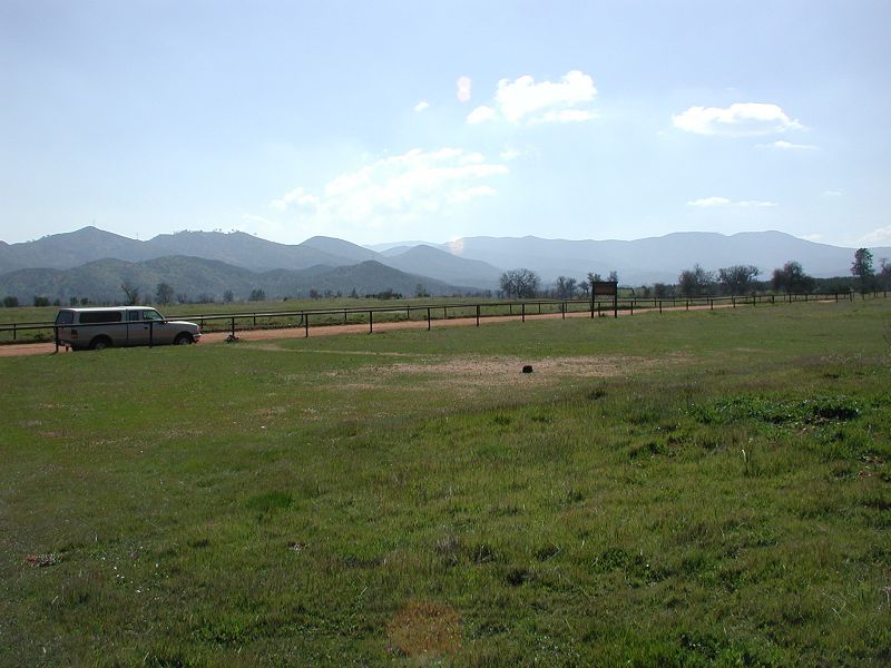
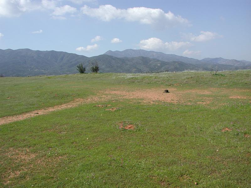
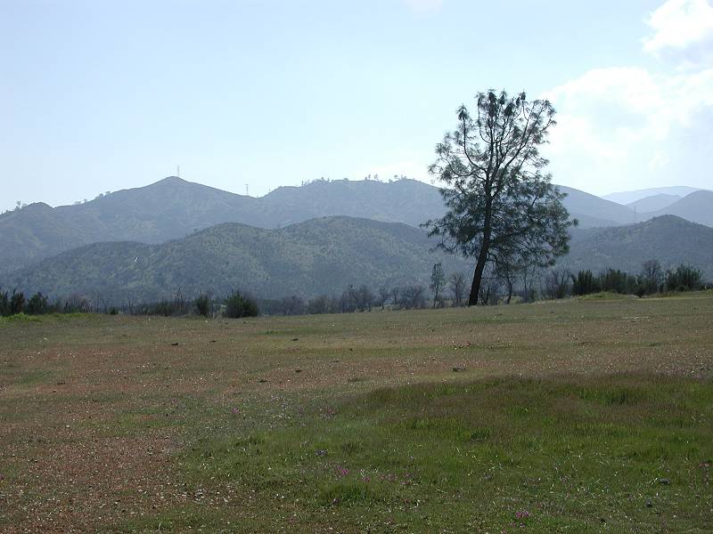
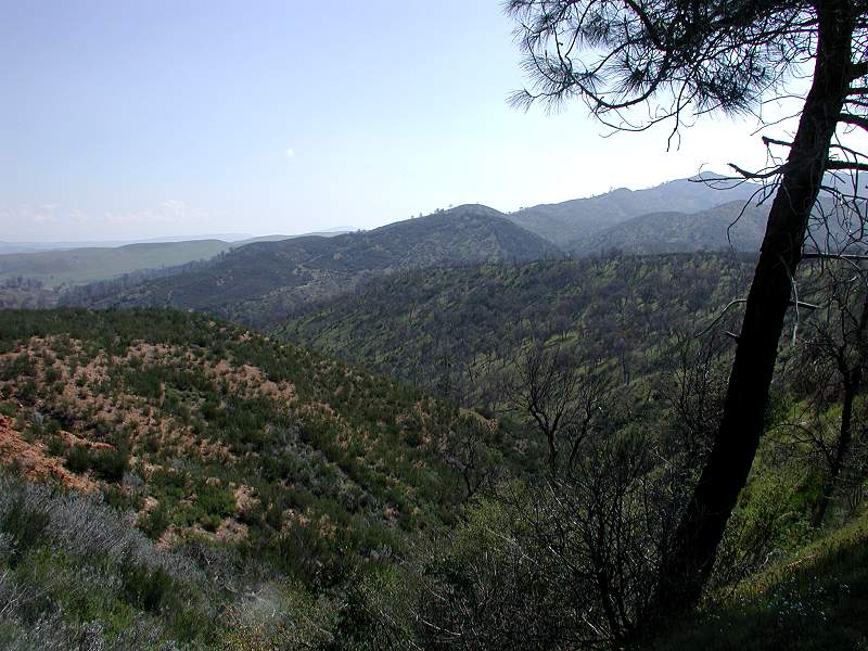
But, for serious astronomers, there is another, far more remote, excellent viewing location that several CCAS members use because of its superb night stargazing capabilities. The location is Navajo Flats located about a 40-minute drive southeast of Atascadero along Hwy 58 going south toward California Valley. You turn off Hwy 58 onto Red Hill Road. This location offers totally black viewing conditions for the full circumference of the horizon with no hills blocking your view.
Navajo Flats Coordinates: Latitude: 35° 24.071′ N Longitude: 120° 16.834′ W Elevation: 2005 Feet / 611 Meters
(Web Based Coordinates: Latitude: 35° 24′ 03” N Longitude: 120° 16′ 51” W)
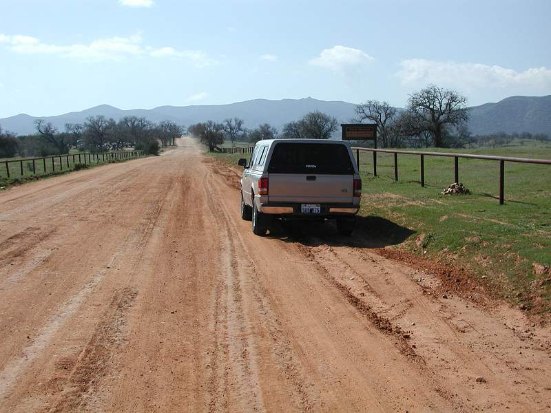
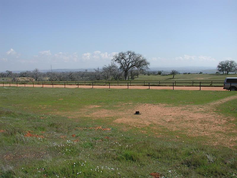
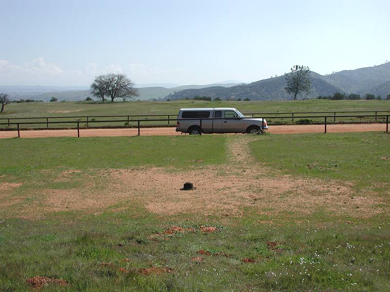
You may occasionally be passed by some off-road bikers who are to stay on Red Hill road. Other vehicles may also pass by from time to time, but the telescope set-up area is about 50 feet away from the dirt roadway.
IMPORTANT Words of Caution:
- The beautiful drive is in very remote country along winding, sometimes narrow and very hilly two-lane roads. For first time visitors it seems to take forever to get there. It is wise to have a good spare tire and carry a fully charged cell phone with you and flashlights. Bring some caffeine with you for the long late-night drive home. There are NO restrooms. The location is out in wild country.
- During the rainy season, it takes a good 2 weeks for the ground to dry out enough for telescope work. Besides being muddy, the soaked boggy ground causes quick dewing and fogging of telescope optics, making it a real bear to do telescope work. The clay ground holds a lot of water which takes time to evaporate.
- During dry months, it can be somewhat dusty from the nearby dirt road. Depending on wind direction, when vehicles drive by (which is usually just a few during the evening), either point your telescope toward the ground or briefly cover your scope to keep dust from collecting on the optics.
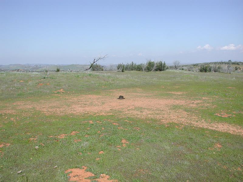
- Watch out for the many ground squirrel holes. This is no place to sprain an ankle. It can be a challenge when walking around in the pitch black.
- This is definitely rattle snake country during the summer months, so keep an eye out for buzz tails. There has never been a report of any snakes from our astronomers, but you never know. You are a good hour’s drive from Twin Cities Hospital in Templeton. Be aware that rattlers usually hunt for food at night, so as long at you make a little noise and ground vibration, there should be no problem. If you do see one during the day, don’t hurt it, just make noise until it moves off. They like quiet, undisturbed area. They are good animals and we are intruding in their home.
- This is also extreme FIRE DANGER area. NO Fires and NO Smoking. Period! Be sure to have a working fire extinguisher with you just in case.
Driving Directions:
Directions to Navajo Flats are provided from Atascadero and Santa Margarita. Click here for printer-friendly driving directions. Navajo Flats is located almost 2 tens of a mile just off of Hwy 58 on Red Hill Road, about 27.5 miles (40 minute drive) southeast of Atascadero (using Hwy 41 starting from the junction of Hwy 41 and El Camino Real). It can occasionally be a little dusty when a vehicle goes by on the dirt road, but the viewing location and pitch black viewing overpower any occasional dust inconvenience. There are usually only a few vehicles that go by on the very rural, back country road. You may also experience some off-road dirt bikers runing up and own Red Hill Road.
Directions from Atascadero:
1. From Atascadero, at the major intersection of El Camino Real and Hwy 41 (Rite Aid and Vons is on the southeast corner), drive east on Hwy 41 toward Creston. Navajo Flats is approximately 27.5 miles from this intersection.
2. Drive 10.4 miles to just past the right turn to Creston (DON’T TURN ON HWY 229 TO CRESTON). Just past the right turn to Creston you pass over a small bridge on Hwy 41. Just past the bridge make an immediate RIGHT turn on La Panza Road.
3. Follow La Panza 9.8 miles to Hwy 58. At this point La Panza ends. You can only turn left or right on Hwy 58. Turning right takes you to Santa Margarita.
4. Turn left on Hwy 58 going south. Drive 7.8 miles to Red Hill Road on the right. Just before reaching Red Hill Road, you drive up a rather long uphill climb on Hwy 58.
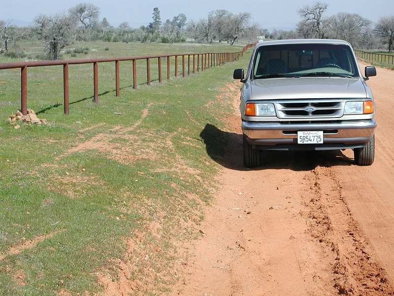
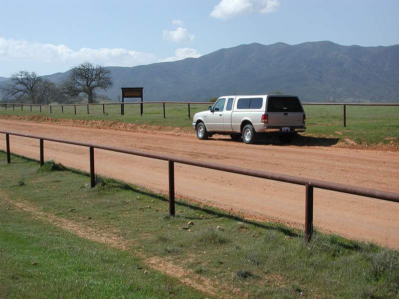
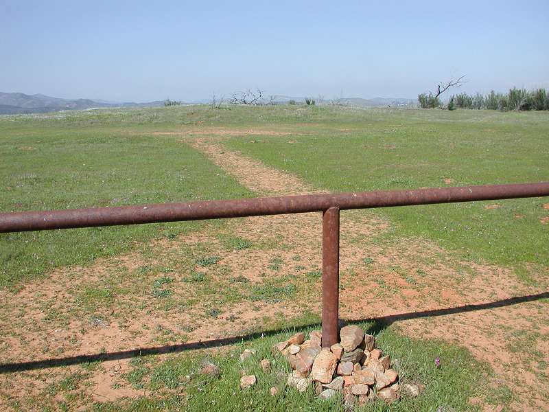
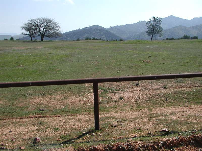
5. Turn right on Red Hill Road which runs along the top of a long, flat ridge. There is steel pipe railing (fence) running all along both sides of the road to keep off-road vehicles off of the terrain. Drive slowly as it is a washboard and potholed dirt road. From Hwy 58, drive almost 0.2 miles to the stopping point along the right side of the road, about 50 feet this side of a double-post Forest Service fire caution sign on the right side. There is no shoulder or pull-off spot. Just park along the road. There is a small pile of rocks around the base of one of the metal pipe fence posts at the viewing location.
Directions from Santa Margarita:
1. On the east end of town, take Hwy 58 south running south toward Santa Margarita Lake.
2. At the initial turnoff onto Hwy 58 you cross railroad tracks. From the RR tracks, you drive approximately 1 mile. Beware that during that one mile section of Hwy 58, while you are still in Santa Margarita, you will make one sharp left turn (20 mph) and then one sharp right turn (about 30 mph). At the 1 mile point from the RR tracks, Hwy 58 makes a sharp left turn (no stop). At that point, if you were to continue straight, it turns into Pozo Road leading to Santa Margarita Lake and Pozo.
3. At the 1 mile point south of town, continue on Hwy 58 as it makes the sharp left turn.
4. From that sharp bend, the drive is approximately 22.3 miles to Red Hill Road on the right, about a 25 to 35 minute drive. Beware, this long stretch of highway 58 has sections of slow, winding, narrow, very hilly roadway. Speeds on this highway range from 20 mph to 65 mph. It is very desolate ranch country. There are NO service facilities. It is a beautiful drive, but for first timers it seems like a very long drive.
5. Turn right on Red Hill Road which runs along the top of a long, flat ridge. There is steel pipe railing (fence) running all along both sides of the road to keep off-road vehicles off of the terrain. Drive slowly as it is a washboard and potholed dirt road. From Hwy 58, drive almost 0.2 miles to the stopping point along the right side of the road, about 50 feet this side of a double-post Forest Service fire caution sign on the right side. There is no shoulder or pull-off spot. Just park along the road. There is a small pile of rocks around the base of one of the metal pipe fence posts at the viewing location.
More Notes…
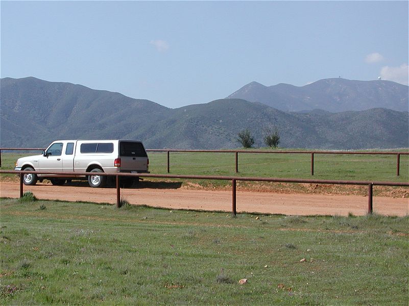
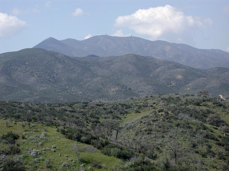
There is a rather well-worn path from the road to somewhat bare areas of dirt where we set up scopes. Slide or roll telescopes cases under the pipe railing and walk about 30 feet to the scope setup area. The fence has only one rail located about 3 to 3.5 feet off the ground. If you have a heavy scope case, you will need some form of wheels (hand truck) to move it to the setup area. You are at an elevation of 2,000 feet with great views in all directions to the horizon. Black Mountain, with a big radar dome on it, is off in the distance to the NW and is a good initial finder scope alignment target.
There are no artificial lights to bother you on the horizon except a very faint red aircraft warning light on Black Mountain. It is a wonderful pitch black location with a BIG SKY feeling. You will have to occasionally put up with headlights from vehicles passing by on Red Hill Road.
PLEASE …. Take good care of the area. No littering. We are visitors in Mother’s Nature’s home and need to respect that privilege. We don’t want to spoil it for everyone by being careless. Leave only tripod and foot prints and nothing else. Let’s preserve this fine location for the benefit of astronomers for many years to come. It is a precious location for those of us who desire a wonderful spot for undisturbed dark sky viewing.
Request: If you happen to locate another good dark-sky viewing area that can accommodate numerous vehicles and is off the beaten path, please let the CCAS know. We would love to find a piece of private property for our public star parties to eliminate general public traffic like occurs on Red Hill Road, but we have yet to be offered such a section of ground.
Follow Us:
